Visão geral básica da extensão do ArcGIS
Visão geral
A extensão ArcGIS permite que você colete e analise dados geoespaciais do ArCGIS no Qualtrics, aumentando a profundidade e o escopo de sua pesquisa. Depois que a extensão estiver configurada, você poderá usar as perguntas do ArcGIS Map em seu pesquisa para coletar dados baseados em localização. Esses dados podem então ser enviados para uma camada no ArcGIS, permitindo visualização e análise adicionais.
Configuração da extensão
Antes de começar a usar a extensão, você precisará atender a três requisitos:
- Ter a extensão do ArcGIS ativada para sua licença.
- Ter a permissão Access API ativada para sua licença. Consulte User, Group, & Divisão Permissions para obter mais informações.
- Ter uma conta organizacional do ArcGIS Enterprise ou do ArcGIS Online.
Qdica: O ArcGIS Developer ou outros tipos conta não funcionarão com essa extensão.
Se você não atender a esses requisitos, entre em contato com o administrador Marca ou com o executivo Conta da Qualtrics.
Para configurar a extensão, você precisará criar uma chave API e uma camada no ArcGIS, adicionar uma pergunta do ArcGIS ao seu pesquisa e configurar uma tarefa do ArcGIS. Esses processos estão detalhados abaixo.
Localizando sua chave e camada de API do ArcGIS
Será necessário fazer login no ArcGIS para capturar as credenciais API e o URL da camada.
- No ArcGIS, crie uma nova chave API. Consulte a documentação do ArcGIS para obter instruções.
- Crie uma camada hospedada. Eles podem ser hospedados pelo ArcGIS ou pelo applyEdits. Para obter instruções, consulte a documentação do ArcGIS.
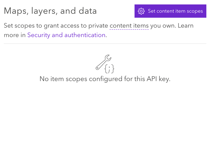
- Nas configurações da chave API, conecte a chave API e a camada hospedada selecionando Definir escopos de item de conteúdo.
 Qdica: verifique se as configurações estão definidas como Permitir edição.
Usando a pergunta do mapa do ArcGIS
Você precisará adicionar uma pergunta do ArcGIS Map ao seu pesquisa para começar a coletar dados geoespaciais. Consulte a página de suporte do ArcGis Map Question para obter mais informações.
Configuração de uma Tarefa do ArcGIS
Depois de coletar dados geoespaciais com uma pergunta do ArcGIS Map, você pode enviar esses dados para o ArcGIS usando a tarefa Update ArcGIS.
Consulte a página de suporte Update ArcGIS Tarefa para obter instruções.