ArcGIS Extension Basic Overview
Overview
The ArcGIS extension allows you to collect and analyze geospatial data from ArCGIS in Qualtrics, enhancing the depth and scope of your research. Once the extension is set up, you can use ArcGIS Map questions in your survey to collect location-based data. This data can then be sent to a layer in ArcGIS, allowing for further visualization and analysis.
Setting Up the Extension
Before you begin using the extension, you’ll need to meet 3 requirements:
- Have the ArcGIS extension enabled for your license.
- Have the Access API permission enabled for your license. See User, Group, & Division Permissions for more information.
- Have an ArcGIS Enterprise or ArcGIS Online Organizational account.
Qtip: ArcGIS Developer or other account types will not work with this extension.
If you don’t meet these requirements, reach out to your Brand Administrator or Qualtrics Account Executive.
To set up the extension, you’ll need to create an API key and layer in ArcGIS, add an ArcGIS question to your survey, and set up an ArcGIS task. These processes are detailed below.
Finding your ArcGIS API Key and Layer
You will need to log into ArcGIS to capture your API credentials and layer URL.
- In ArcGIS, create a new API key. See the ArcGIS documentation for instructions.
- Create a hosted layer. These can be hosted through ArcGIS or applyEdits. For instructions, see the ArcGIS documentation.
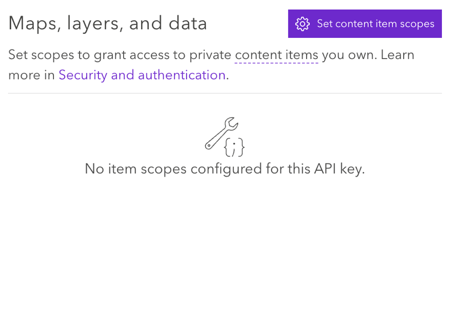
- In the API key settings, connect the API key and hosted layer by selecting Set content item scopes.
 Qtip: Make sure the settings are set to Allow Editing.
Using the ArcGIS Map Question
You will need to add an ArcGIS Map question to your survey to begin collecting geospatial data. See the ArcGis Map Question support page for more information.
Setting up an ArcGIS Task
Once you’ve collected geospatial data with an ArcGIS Map question, you can send this data to ArcGIS using the Update ArcGIS task.
See the Update ArcGIS Task support page for instructions.